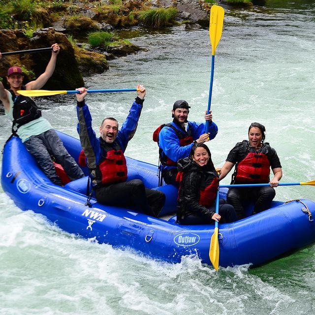
The Clackamas River is well known as one of the classic whitewater rafting runs of the Pacific Northwest with plenty of great class III-IV intermediate whitewater.
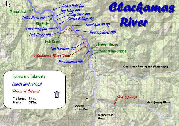
When paddlers refer to the Upper Clackamas they mean the waters upstream of North Fork Reservoir which is part of PGE's hydropower facilities on the river. The run from Sandstone Bridge (Three Lynx) down to the Memaloose Weigh Station just above the reservoir makes a great 13.5 mile day trip although many kayakers focus on the 4.2 mile middle section from Fish Creek to Bob's Hole which serves up the best whitewater and some fine playboating. This section is also the site of the annual Upper Clackamas Whitewater Festival.
Our full-day rafting trips include a riverside lunch and offer a more immersive experience on the Upper Clackamas River, while half-day trips are perfect for those looking for a shorter but exciting adventure.
The character of the run is mostly pool-drop class III rapids which can develop class IV hydraulics as the river rises during intense winter storms. Good consistent flows are available throughout the winter with rain and into spring as snowmelt. The river drops low in the summer but can still be enjoyed as a technical boating experience and a wonderful escape into the National Forest just an hour from downtown Portland.
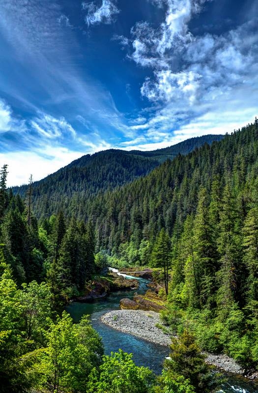
With Highway 224 running along the entire length of this run road scouting is easy and the road itself provides only a minimal intrusion to what is an incredible scenic journey along a forested river.
The run starts out at the Sandstone Bridge upstream of the Three Lynx Powerhouse. As you pass beneath the bridge the river continues with fun class II and III rapids before reaching the Narrows and Hole-in-the-Wall rapid.
Further downstream you’ll encounter Carter Bridge Rapid, Big Eddy, Rock 'n Roll, and Toilet Bowl before reaching Bob’s Hole—a favorite playboating spot.
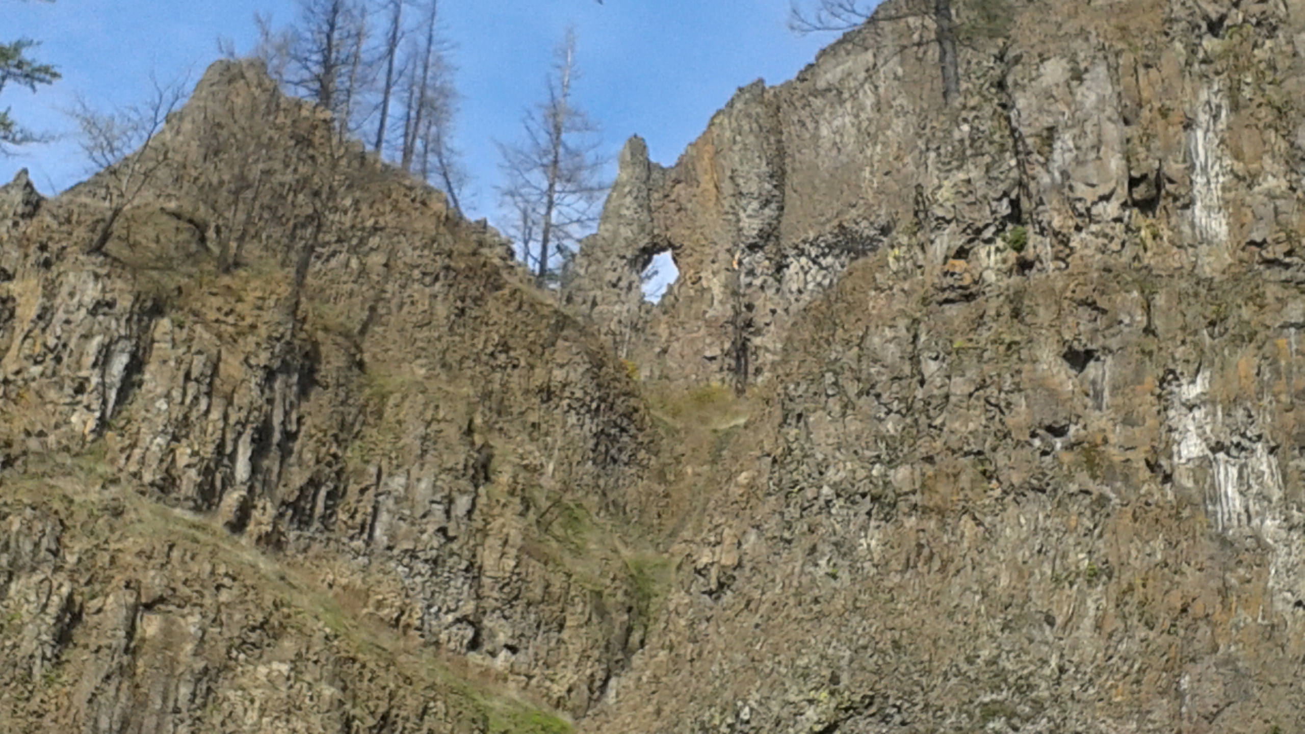
Running through land managed primarily by the Mount Hood National Forest, the Collawash River flows through deep basalt canyons on its way to the Upper Clackamas. Alternating between extreme whitewater and deep green pools this part of the river lies in a remote area of the Bull of the Woods Wilderness.
At least a dozen lakes can be found among the peaks and ridges of the surrounding area and a 68 mile trail system winds its way through old growth forests and past deserted mine shafts.
This portion of the basin is critical for wild fish including coho, Chinook, and steelhead.
Forty-seven miles of the Clackamas River are federally protected as part of the National Wild and Scenic Rivers System.
These areas support recreation such as white water rafting, and wildlife including bald eagles and northern spotted owls.

Turn your rafting trip into a full outdoor adventure by staying overnight and exploring the surrounding Clackamas River area.